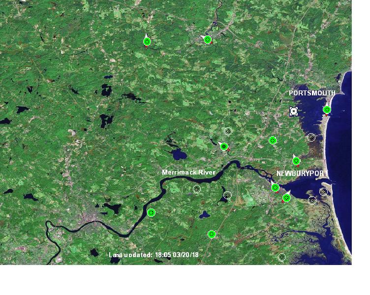
Below is a map of C-10’s monitoring stations, showing wind speed and direction. The green stations are actively sending data. The white point seen south of Portsmouth is Seabrook Station. This map is refreshed every fifteen minutes.
© C-10 Research and Education Foundation 2025 C-10 is a registered 501(c)(3) nonprofit. Tax ID/EIN #22-3117209.